


July 30, 2025 — Dr. Emilio B. Espinosa, Sr. Memorial State College of Agriculture and Technology (DEBESMSCAT), in partnership with Peace Corps Philippines, held the culminating activity “Mapping for Impact” initiative—an extensive QGIS endeavor designed to enhance the institution’s mapping and resource management capabilities. The series of activities reached a wide range of participants, including faculty, students, local government personnel, and other professionals.
The culmination event highlighted the impact of the multi-phase training sessions conducted on May 5–7, 15–16, and July 3–4, 10–11, 2025. These workshops empowered participants with practical knowledge on using open-source geographic information systems to improve data-driven planning, community-based resource management, and digital mapping, skills vital in the advancement of inclusive education, innovation, public service delivery, and responsive governance.
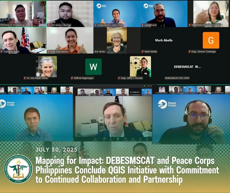
The program opened with remarks from Dr. Nikki Faith A. Bantillo, DEBESMSCAT’s International Relations Officer, who emphasized the institution’s commitment to global partnerships that contribute to the empowerment of educators, students, and local stakeholders.
A message of gratitude and commitment was delivered by Dr. Rodolfo B. Burac Jr., Vice President for Research, Development, Extension, Innovation, Creative Works, and Knowledge Management, on behalf of SUC President III Dr. Arnel B. Millesca. Dr. Burac underscored the initiative’s alignment with the college’s drive toward innovation, institutional capacity-building, and long-term development goals.
Peace Corps Philippines Acting Country Director Brian Cummins conveyed appreciation and solidarity, affirming the value of grassroots partnerships in achieving sustainable impact and developing peace through knowledge-sharing and mutual respect.
The event also featured a heartfelt video presentation highlighting participant testimonials and an appreciation message from Dr. Millesca to Dr. Ann Myatt James, a Peace Corps Virtual Service Pilot participant and the sessions’ resource person, and to the broader Peace Corps Philippines community. In her message, Dr. James reflected her experience and expressed admiration for the participants’ eagerness to learn and their commitment to leveraging geospatial technology for community development.
Beyond the trainings, the collaboration also included virtual meetings between DEBESMSCAT and the Peace Corps Team focused on enhancing the institution’s management of natural resources. As part of the collaboration, Dr. Ann Myatt James and the Peace Corps also extended technical assistance in improving the DEBESMSCAT’s Land Use Development and Infrastructure Plan (LUDIP), making it more comprehensive and aligned with long-term development goals.
Certificates of appreciation were awarded to Dr. James and Peace Corps Philippines in recognition of their dedication and expertise throughout the remarkable collaborations.
Mr. Milo E. Cruz, Peace Corps Philippines Program Coordinator, delivered a message outlining the “ways forward” for future collaboration, signaling openness to continued partnerships that expand digital literacy, enhance institutional resilience, and deepen community engagement.
The culminating activity concluded with the acknowledgment of all contributors and stakeholders by Dr. Bantillo.
The QGIS training initiative served as a concrete step toward ensuring equitable access to quality education and lifelong learning, promoting gender equity in digital skills training, fostering innovation in academic institutions, and enhancing transparent, participatory, and inclusive governance. It also reinforced the value of international collaboration and cross-sector partnerships in building a more resilient and data-informed future for the community.


 Ladies and gentlemen,

